Transport development priorities
We assess the distribution of transport activity across modes and existing conditions to identify suitable development scenarios.



| Criterion | CTSComprehensive transport scheme How should the transport system develop? | CTMSComprehensive traffic management scheme How should traffic operate on the selected network? |
|---|---|---|
| Objective | Allocate transport activity across modes and set development priorities | Make traffic safer and more efficient |
| Focus | The entire multimodal urban transport system | The street and road network and how traffic is managed |
| Scope | Road network, public transport, off-street rapid transit and pedestrian connections | Traffic flows, priorities, restrictions, control and local layouts |
| Scale | Long-term planning for a city or metropolitan area | Towns and cities, corridors and junctions, and stages of implementation |
| Output | A scenario and measures for developing the transport system | A coordinated set of traffic management measures |
From travel demand to the operation of streets and junctions.
We assess the distribution of transport activity across modes and existing conditions to identify suitable development scenarios.
We define the road network hierarchy and its main corridors, junctions and infrastructure.
We develop proposals for public transport and off-street rapid transit networks and analyse passenger volumes and infrastructure.
Route continuity, accessibility and barriers to walking.
We assess parking demand, occupancy and turnover, and how parking affects surrounding traffic.
We develop safe and efficient layouts for road sections, intersections, interchanges and other junctions, and refine how traffic is controlled.
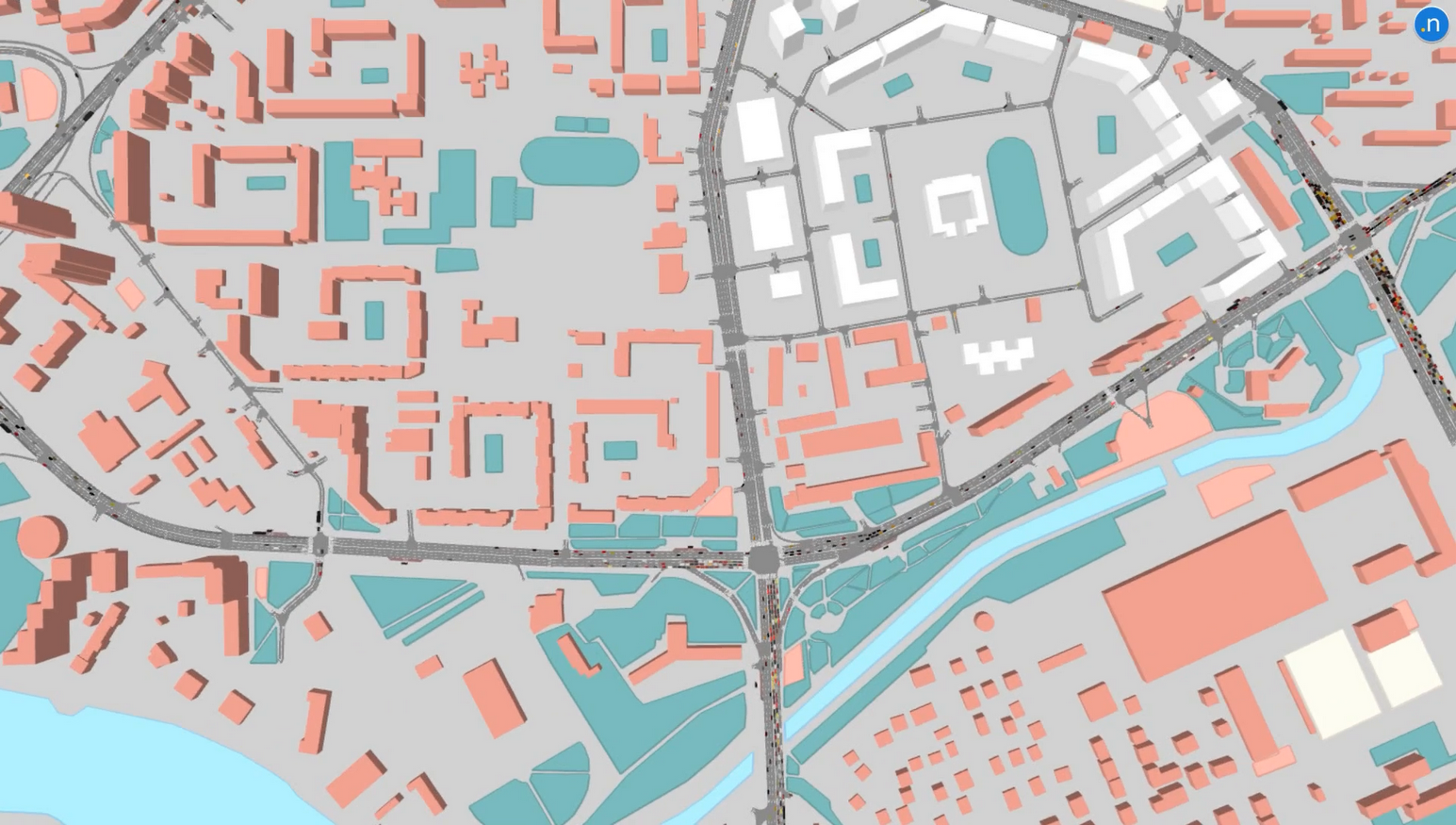
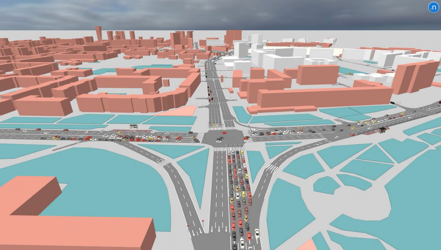
The scope and level of detail depend on the project objectives and terms of reference.
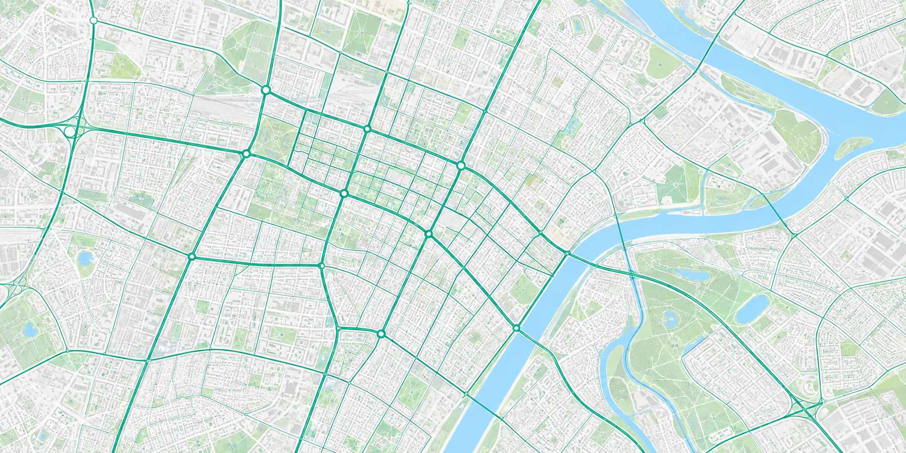
We analyse how the network operates and identify problem areas.
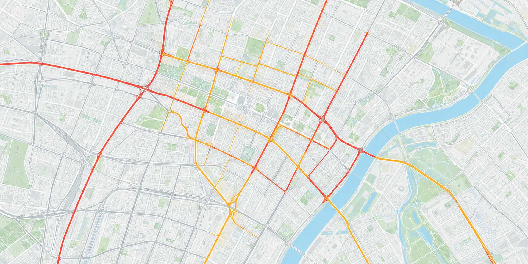
We assess how the network would operate under the agreed demand forecast.
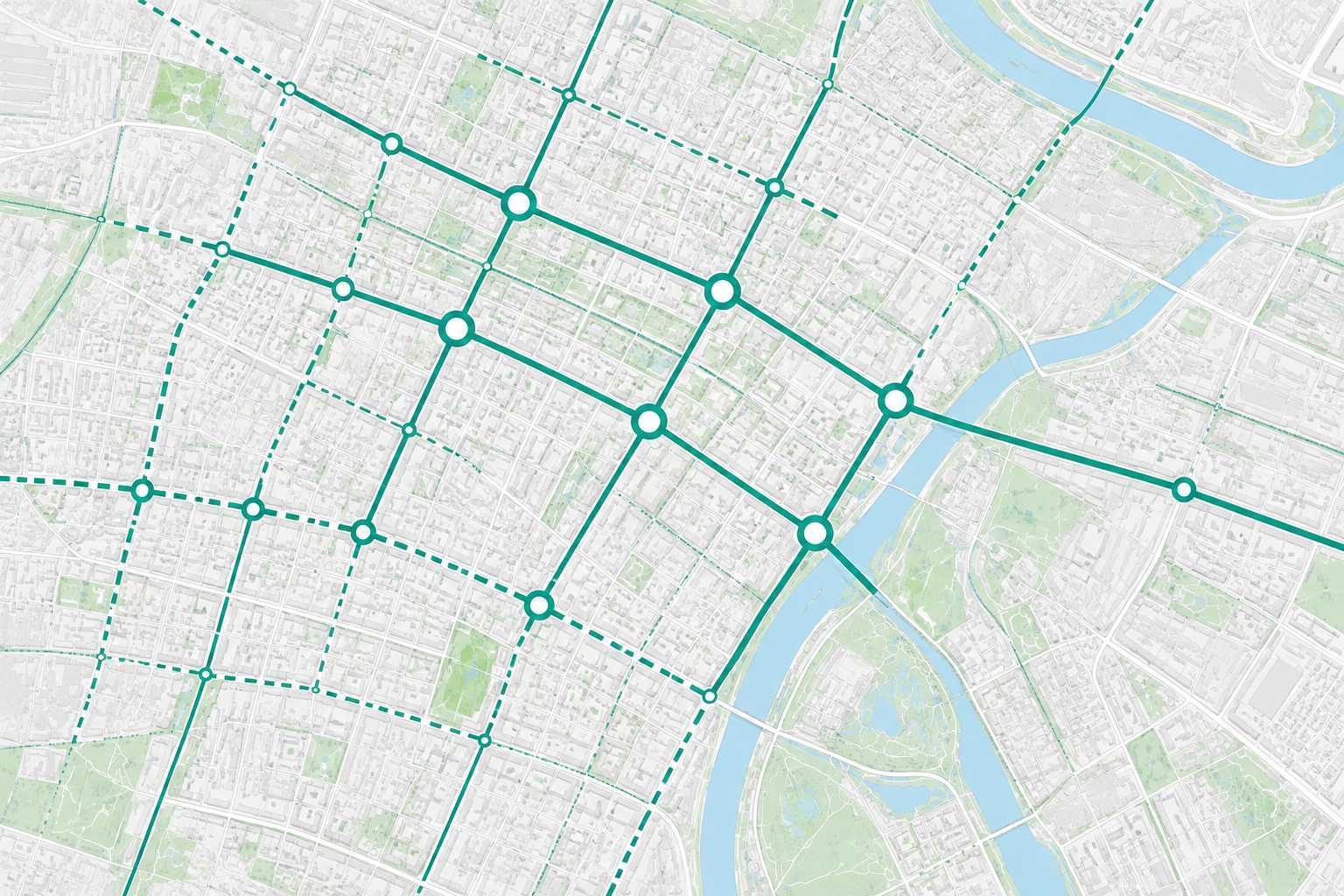
We develop and compare measures against the city's objectives.
We agree the indicators and assessment periods based on the project objectives.
Defines the spatial and transport planning documents and the three stages of their development, from research and forecasting to supporting evidence and design proposals.
Read the legislation ↗Sets out authorities' responsibilities, funding provisions and requirements for traffic management measures.
Read the legislation ↗Defines the functions of Astana's traffic management centre, including traffic monitoring, traffic signal operation, intelligent transport systems and CTMS development.
Read the legislation ↗Regulates approval of road safety design and technical documentation by the competent authority.
Read the legislation ↗| № | Workstream | Scope of work |
|---|---|---|
| 01 | Project set-up | Project boundaries, schedule, methods, input data register and coordination arrangements. |
| 02 | Input data collection | Master plan and detailed development plans, road network, public transport, road crashes, development projects, population and travel demand. |
| 03 | Transport surveys | Traffic volumes and composition, speed, travel times, queues, parking, public transport ridership, walking and cycling. |
| 04 | GIS database and baseline conditions | A common geodatabase for the network, traffic control devices and infrastructure, with maps of existing conditions and problems. |
| 05 | Base transport model | Traffic analysis zones, origin–destination matrices, car and public transport networks, model calibration and validation. |
| 06 | Transport system assessment | Bottlenecks, causes of congestion, gaps in public transport and parking, road safety, connectivity and accessibility. |
| 07 | Forecasting and CTS strategy | Travel demand and urban development forecasts, road and public transport scenarios, and long-term transport policy priorities. |
| 08 | Selection of the preferred scenario | Comparison of scenarios by transport performance, cost and impact, followed by agreement on the basis for the CTMS. |
| 09 | CTMS development | Measures for traffic management, public transport, parking, walking, cycling, traffic control devices and road safety. |
| 10 | Development of priority measures | Corridor analysis, microsimulation of key junctions, traffic layouts and signal timings. |
| 11 | Evaluation and implementation programme | Expected impacts, preliminary costs, priorities, timing, responsible authorities and performance indicators. |
| 12 | Handover and support | Report, GIS data, model, source files, staff training, responses to comments and support during approval. |
The terms of reference set the work scope, level of detail and sequence.



Urban strategy for sustainable mobility
Metropolitan area transport plan
Long-term transport plan
Programme of transport improvements
State-level programme of transport improvements
Congestion management process
Public engagement plan
Metropolitan transport planning body
US federal public transport agency
US federal highway agency
Designated transport management area
Intelligent transport systems
Trans-European Transport Network
Continuing, comprehensive and cooperative planning
US Code of Federal Regulations
| Country or region | Mobility strategy | Networks and services | Traffic management |
|---|---|---|---|
| Kazakhstan | CTS Scenarios, road network, public transport and allocation of transport activity across modes | CTMS Traffic management framework | |
| Russia | Public transport scheme (KSOT) Public transport | Transport infrastructure programme (PKRTI) Transport infrastructure development | CTMS Traffic management |
| United States | MTP / LRTP + TIP Long-term regional strategy and an investment programme covering at least four years | CMP Congestion management process | |
| Europe | SUMP Integrated strategy, packages of measures, implementation and monitoring | Local traffic management schemes Traffic management measures for individual sites | |
The documents have different remits. Kazakhstan, Russia, the United States and European countries divide strategy, investment programming and operational measures differently. This comparison focuses on function. The documents have different legal status.
International sources: FHWA / FTA · SUMP guidelines